Pest Animal Surveys: How Drones Are Changing Feral Animal Management in Victoria
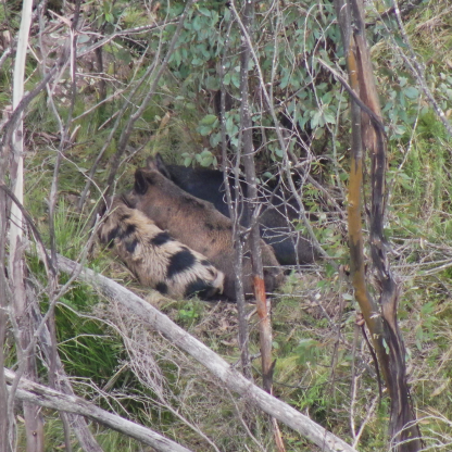
Feral animals can cause significant damage to agriculture, native areas and biodiversity across Victoria. Feral pigs, deer, goats, foxes and rabbits are among the introduced species that land managers across the state work to control. Managing these species depends on one thing above all: knowing where the animals are and how many are present.
Field Master Systems gathers and records that information using thermal drones, giving land managers the location data that control programs rely on.
Detection is the demanding part of feral animal management. Many pest species range across large areas and shelter in dense, remote and hard-to-access areas. A drone fitted with a thermal camera covers large areas in a single survey, recording the exact time and location of every animal it detects. This article covers how the surveys work, what they have delivered on real Victorian projects, and how the data feeds into control on the ground.
Why locating feral animals is so difficult
Feral populations are hard to count and harder to find. A small population of goats persisted in the You Yangs for decades despite repeated control efforts. As a pest population shrinks, the difficulty and cost of removing the last animals climbs sharply, because the few that remain are the hardest to locate. Feral pigs add their own challenge, breeding quickly and proving elusive across large areas of bushland. Reliable, site-wide detection is the step that decides whether a control program reaches its target. Field Master Systems built its drone animal surveys around solving exactly this problem across large and difficult terrain.
How thermal drone surveys locate feral animals
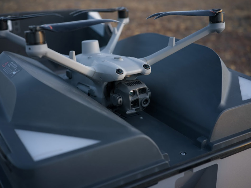
Field Master Systems locates animals using thermal cameras that detect the heat signature of warm-blooded species at night. Where a thermal signature alone does not confirm what the animal is, a gimbal-mounted LED spotlight and zoom visual camera make the identification. A laser rangefinder fixes each animal's position, and every detection is recorded with a timestamp, a location and a photograph or video for confirmation. Surveys run after dark under CASA night-operations certification, when the thermal contrast against the landscape is strongest. The same approach covers a wide range of introduced species, including feral pigs, deer, goats, foxes and rabbits.
Feral animal surveys on real Victorian projects
Field Master Systems has run feral animal surveys across several operational settings in Victoria. Two projects show how the data is gathered and how land managers put it to use.
Feral pig detection for DEECA in Gippsland
The Department of Energy, Environment and Climate Action monitors and controls feral pigs across Victoria, and trail cameras had been the method used to estimate pig numbers and guide baiting programs. In bushfire-affected Gippsland, Field Master Systems worked with the department to develop a thermal drone methodology for feral pig population detection. Flown at night under extended visual line of sight approval with DJI Matrice 300 and Matrice 30 drones, the surveys covered thousands of acres in a single night. Pig locations were mapped and reported, and the results were used to gauge how well existing baiting was working and to plan future programs.
Goat control for Parks Victoria in the You Yangs
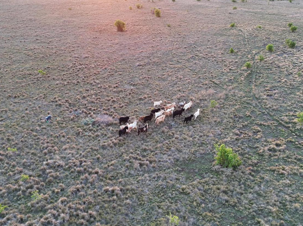
Field Master Systems partnered with Parks Victoria and pest control company ProCon on goat population detection and control in the You Yangs. The remaining goats were difficult to find after decades of control work. Field Master Systems located them with a DJI Matrice 300 carrying an H20T camera payload and an LED spotlight, then guided ProCon's hunters directly to each animal and passed real-time positions as the goats moved. The number of goats controlled per night more than doubled. ProCon described the use of thermal drones to locate and track target species as a major change for their operation, one that made the work more efficient, more humane and safer for the public and field teams.
From survey to control
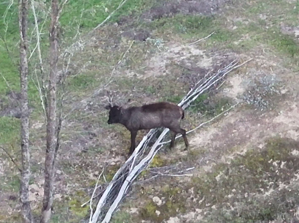
A survey delivers the most value when it directs action. Through drone-assisted pest control, Field Master Systems guides professional shooters to locate animals while maintaining full awareness of people and surroundings throughout the operation. Professional pest controllers report removing more than twice as many pest animals per day when guided from the air, because the drone finds animals quickly and keeps track of them once they scatter. Feral deer are among the species Field Master Systems locates and helps control, and fast, accurate location is what turns a single night into a productive control effort.
What a feral animal survey delivers
- The exact time and location of every animal detected
- Species confirmation using thermal imaging, a zoom visual camera and an LED spotlight
- Mapped and reported animal locations across the survey area
- Large-area coverage in a single night, reaching thousands of acres in the Gippsland feral pig surveys
- Data to measure the effectiveness of baiting or control programs and to plan the next round of work
Frequently Asked Questions
What feral animals can drones survey in Victoria?
Field Master Systems surveys a wide range of introduced species, including feral pigs, deer, goats, foxes, rabbits and feral cats and dogs. The same thermal survey also detects native species such as Greater Gliders and koalas when they are present in the survey area.
How do drones detect feral animals at night?
Thermal cameras detect the heat signatures of target animals, and a gimbal-mounted LED spotlight with a zoom visual camera confirms the species. A laser rangefinder records each animal's exact position, and every detection is logged with a time, a location and a photograph.
How much ground can a drone survey cover in a night?
Coverage depends on the terrain and the target species. In the Gippsland feral pig surveys for the Department of Energy, Environment and Climate Action, Field Master Systems covered thousands of acres in a single night, which removed the need for slower camera-trapping programs.
Can a drone survey support a baiting or control program?
Yes. Survey data maps where animals are concentrated, which supports baiting decisions and guides on-ground control. In the You Yangs, pairing drone detection with guided control more than doubled the number of goats removed per night.
Does Field Master Systems work outside Victoria?
Field Master Systems is based in Victoria and works with government agencies, land managers and pest control groups across Victoria, New South Wales and Queensland. Get in touch to discuss a survey in your area.
Plan a feral animal survey in Victoria
Effective feral animal management runs as a cycle of survey, control and resurvey, with each round measured against the last. Field Master Systems supports every stage, and through RPAS consulting, can help councils and agencies build their own drone survey capability for ongoing monitoring. To scope a feral animal survey or a guided control program in Victoria, contact the Field Master Systems team.